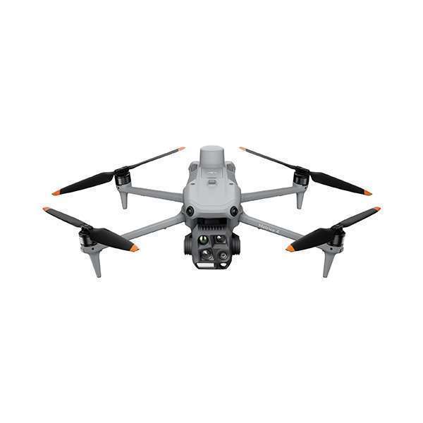
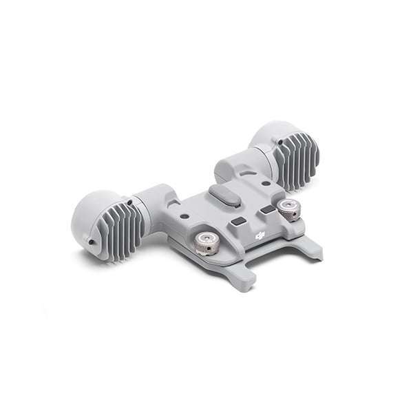


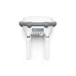
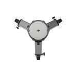
The new D-RTK 3 Multifunction Station integrates high-performance antennas and receiver modules that can monitor and resolve data from major global satellite navigation systems. It supports multiple data transmission links and can analyze the position and orientation of the device via a built-in high-performance inertial measurement unit. With these outstanding functions, it can act as a radar station to provide centimeter-level positioning for multiple drones simultaneously or extend the operational range of drones in relay station mode. In addition, the new Rover Station mode, combined with the DJI ENTERPRISE app and DJI Terra, offers a complete solution for high-precision aerial sensing applications.
Function as a base station for centimeter-level positioning of multiple drones or as an exchange hub to extend the range of drones.
1. The accuracy of the measurements depends on several factors. This value is obtained under normal conditions with an unobstructed view, good satellite distribution, low ionospheric activity, and no electromagnetic interference or multipath effects.
2. Intense vibration and rapid rotation can affect the accuracy of the inertial measurement unit.
3. The relay station should be placed in a high, unobstructed location to ensure clear communication between the radio control and the aircraft.
4. Data acquired in an outdoor environment free of obstacles and interference. The above data shows the farthest communication distance for one-way and round-trip flights according to each standard. During the flight, always pay attention to the RTH notifications displayed in the app.
5. Make sure that all rubber plug interfaces on the body are installed correctly.
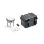
Multifunction station D-RTK 3 × 1
Replacement OcuSync directional antennas × 4
USB-A to USB-C data cable × 1
GNSS frequency
GPS: L1C/A, L2C, L5
BDS: B1I, B2I, B3I, B1C, B2a, B2b
Galileo: E1, E5a, E5b, E6
GLONASS: L1, L2
QZSS: L1C/A, L2C, L5
L Band
Accuracy of Rover Station mode
Static measurement
Horizontal: 0.8 cm + 1 ppm (RMS)
Vertical: 1.5 cm + 1 ppm (RMS)
Tilt measurement
Angle range: 0° to 60°
Horizontal: 8 mm + 0.7 mm/° tilt (accuracy <2 cm within 30°)
Maximum transmission distance (in relay station mode, unobstructed and without interference)
FCC:
15 km between the aircraft and the relay station
1 km between the relay station and the radio control
SRRC:
12 km between the aircraft and the relay station
1 km between the relay station and the radio control
EC:
8 km between the aircraft and the relay station
300 m between the relay station and the radio control
Degree of protection: IP67 (station only)
Diameter: 163 × 89 mm (without OcuSync Directional Antennas)
Weight: 1.26 kg


Reviews
Clear filtersThere are no reviews yet.